Difference between revisions of "Citizen Cartography"
From (art)scienceblr
| Line 16: | Line 16: | ||
| − | [[Categories: Projects]] | + | [[Categories: Projects]] |
| + | |||
| + | [[Colour video machine]] | ||
Latest revision as of 17:47, 4 July 2016
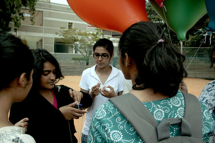
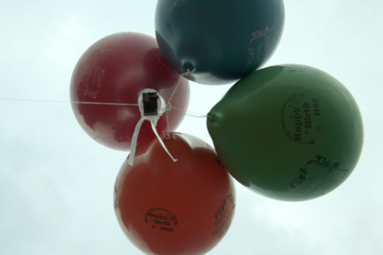
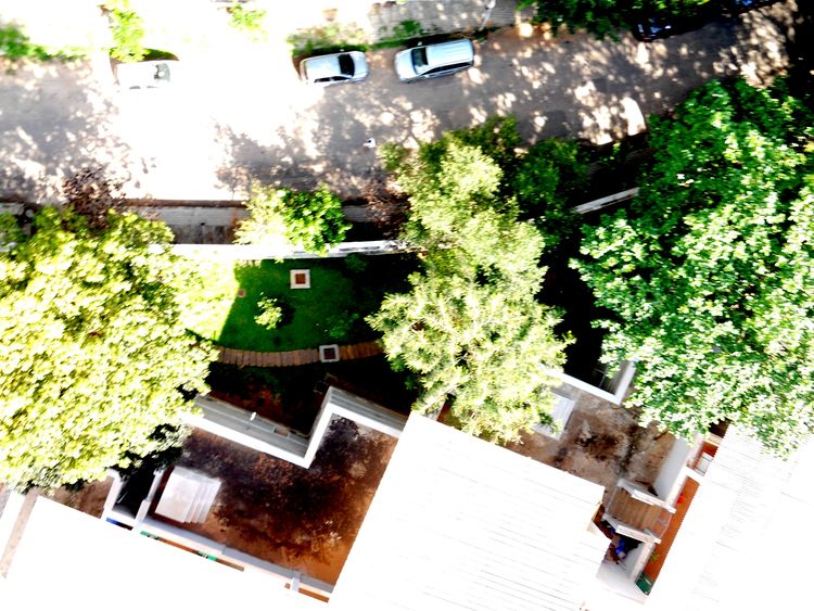
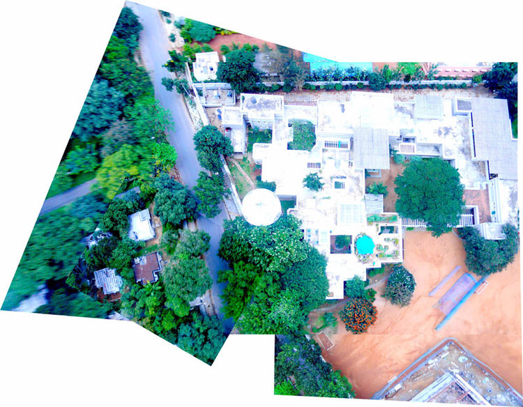
Mapping neighborhoods using balloon mapping. Using hydrogen/helium balloons, a camera is sent up from the center of the area which is to be mapped. The camera is continuously taking images, which are then stitched together to image the neighborhood.


